What Is a Watershed
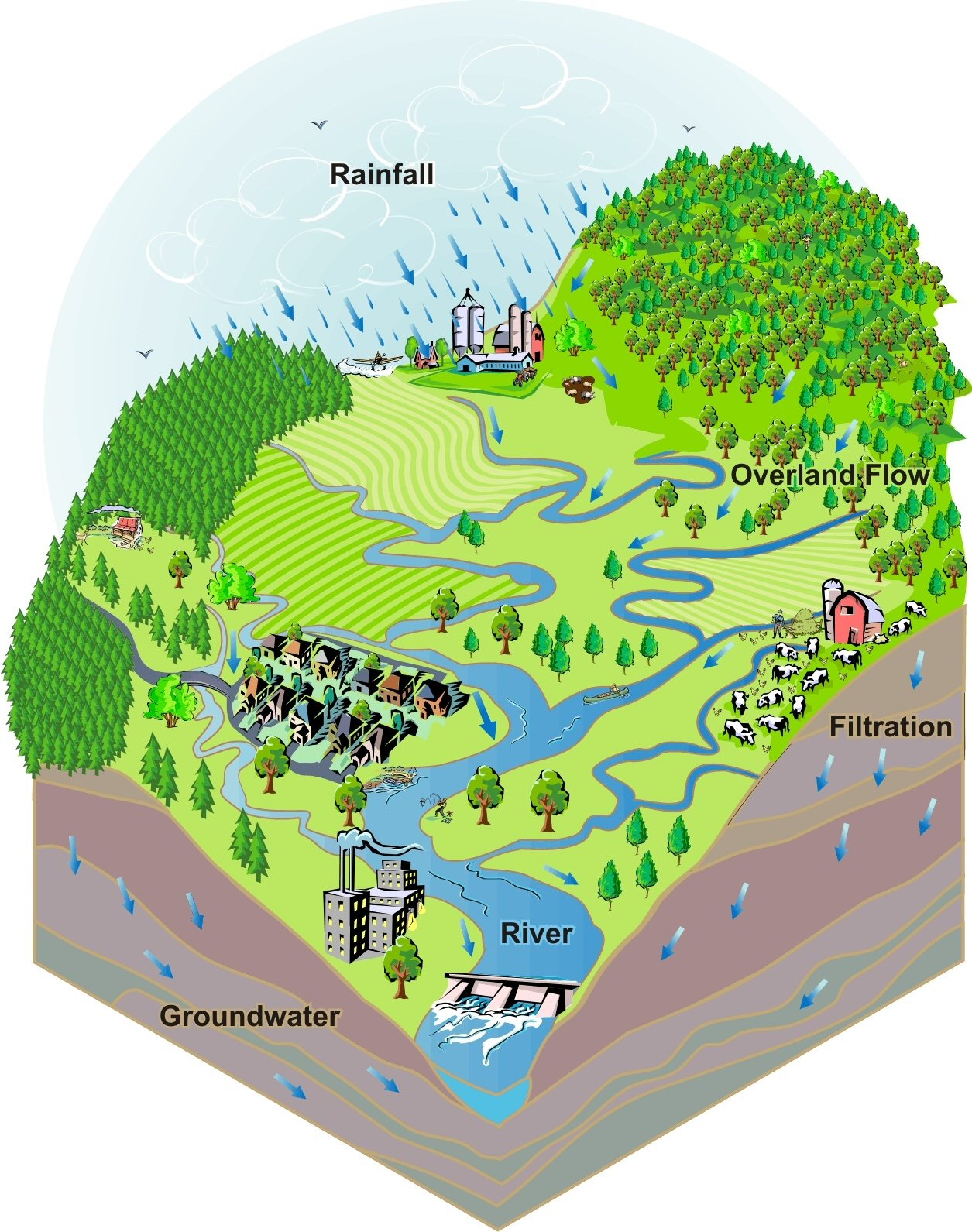
 A watershed is the area of land that drains surface water to a common basin such as a stream, river, lake or reservoir. Watersheds vary in size depending upon natural features of the land the water flows across. View a larger image of the watershed illustration (right, click for larger image) courtesy of the Arkansas Watershed Advisory Group. Click on the image at right or link above. A new window will open, then click on the image.
The three watersheds that supply raw water to the City of Columbus are Big Walnut Creek, the Upper Scioto River and Alum Creek. View a map of the Upper Scioto Watershed, which includes the Big Walnut Creek (displayed in dark green), the Upper Scioto (light green) and Alum Creek (yellow).